The History of Barnham Broom Fen
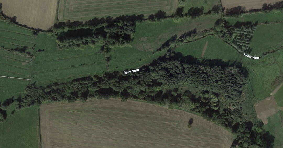
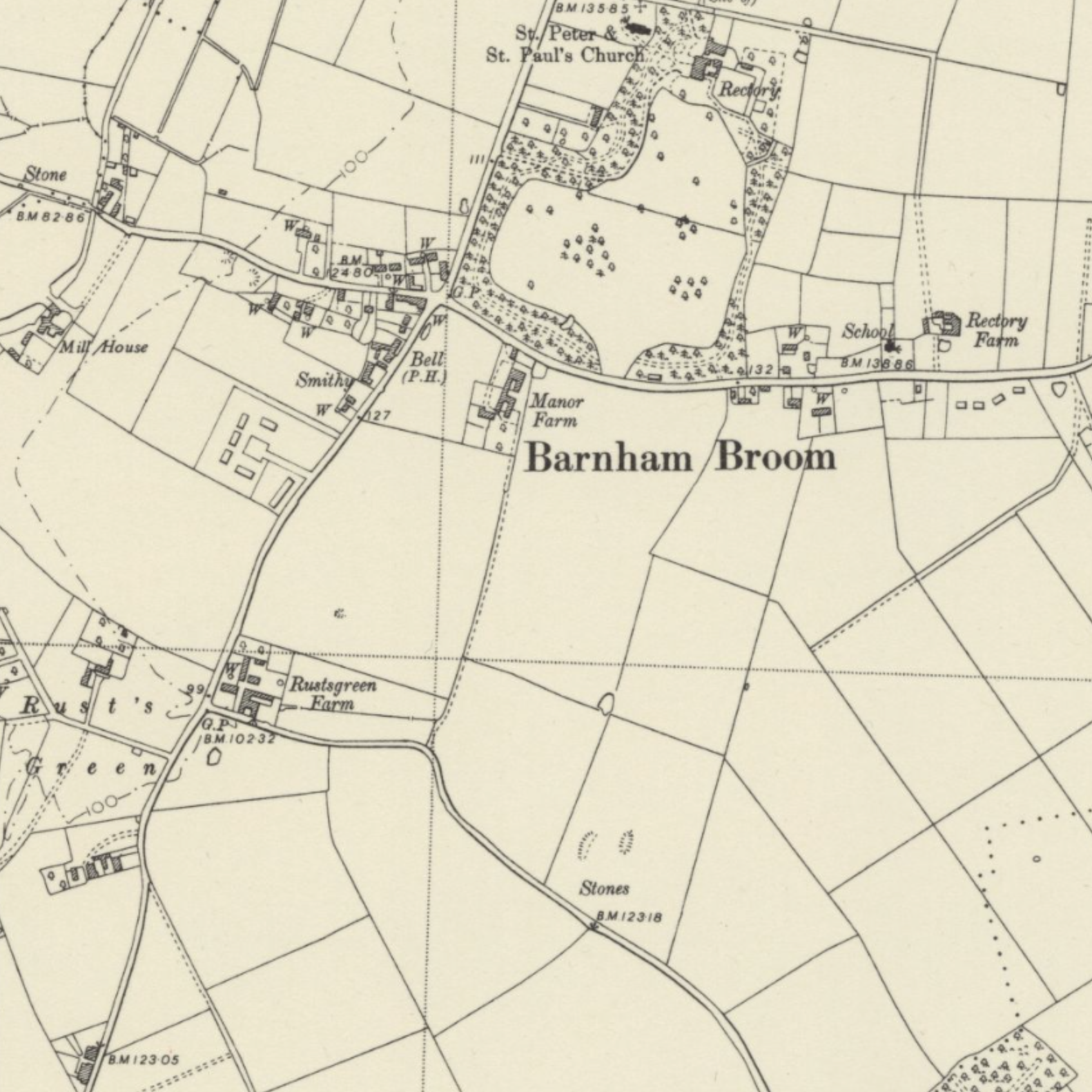
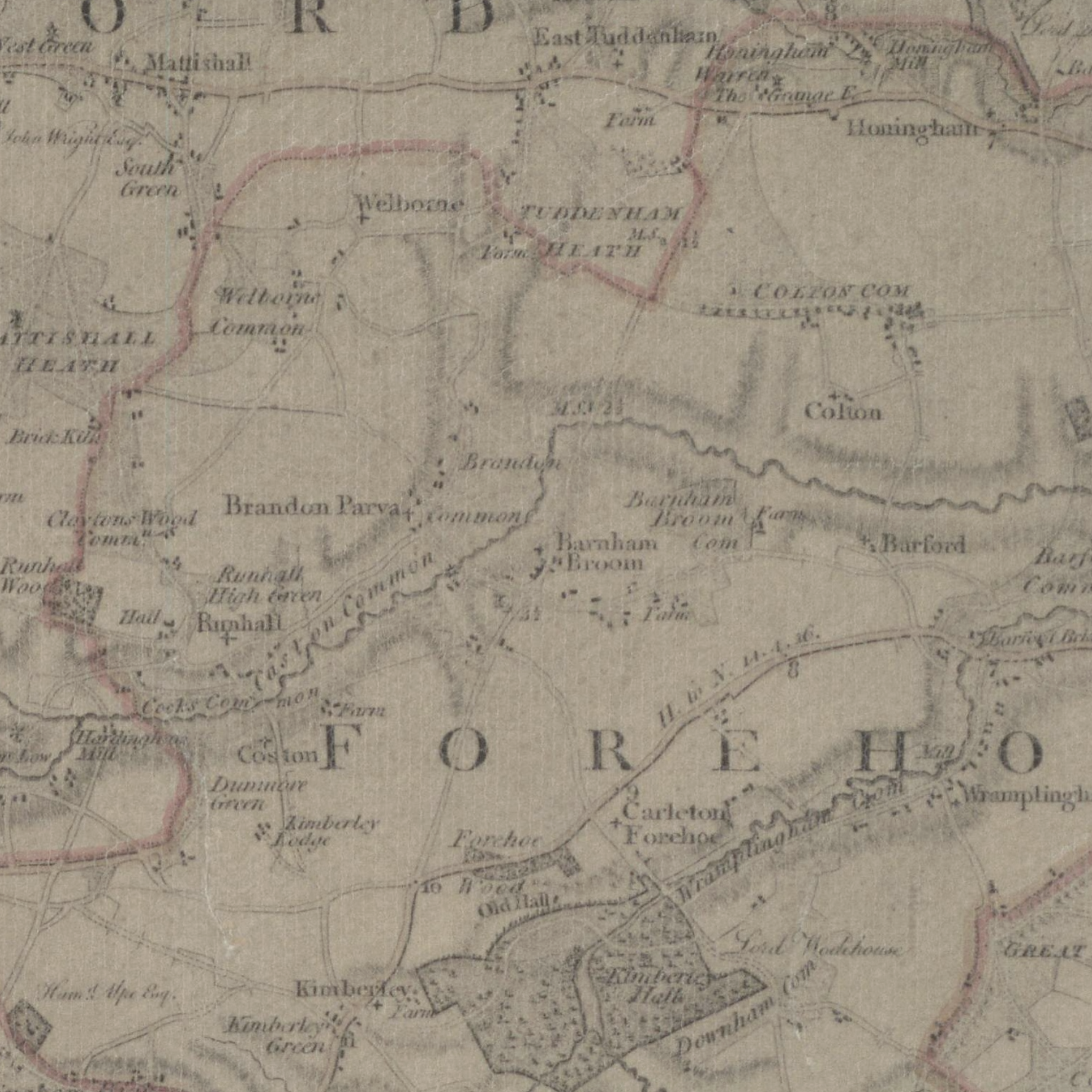
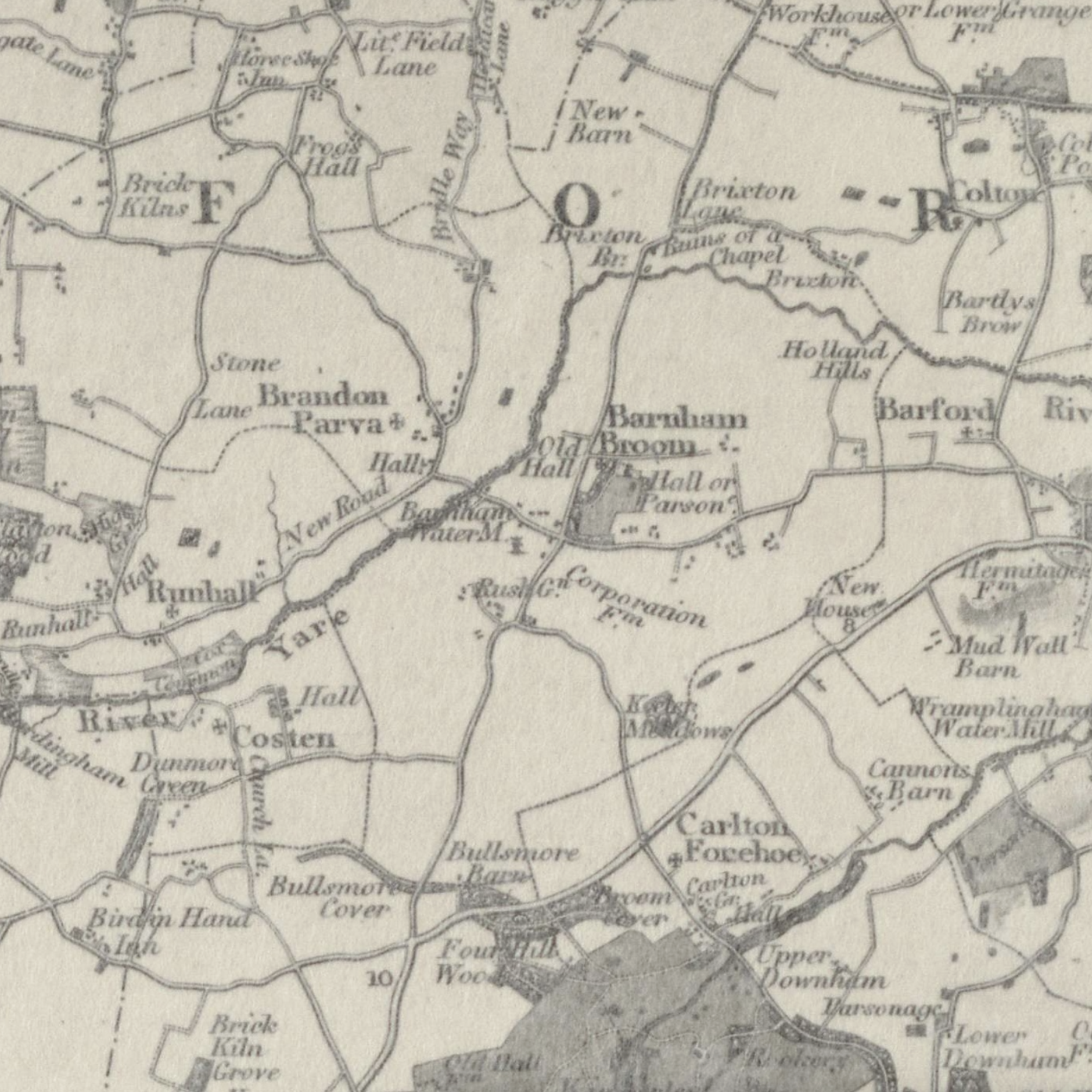
Barnham Broom Fen, located in the Parish of Barnham Broom in Norfolk, England, is part of a region characterised by its fertile agricultural land, meadows, and watercourses associated with the River Yare. The fen has a long history tied to its natural features and its use by the local population for agriculture, grazing, and resource gathering.
Early History
In prehistoric times, the fenlands of Norfolk were marshy, waterlogged areas shaped by rising sea levels and the development of rivers like the Yare. These areas were rich in biodiversity and would have supported early human communities through fishing, reed harvesting, and hunting. Evidence of Bronze Age and Roman activity in the surrounding area suggests that the fenland played a vital role in sustaining settlements and providing access to natural resources.
The Medieval Period
During the medieval era, Barnham Broom Fen was part of a communal system of land use typical of East Anglia. The fen was utilised for grazing livestock, cutting reeds for thatch, collecting wood and harvesting peat for fuel. Barnham Broom was a rural settlement dependent on agriculture, and the fen would have been an essential resource for the village’s subsistence economy.
Establishment of Fuel Allotment and Charity
The most significant transformation of Barnham Broom Fen occurred in the 18th and 19th centuries during the enclosure movement, which reshaped rural England. The Barnham Broom and Bickerstone Inclosure Act of 1811, followed by the official award on 26 August 1812, redistributed common land. The award defined the area of land for the Fuel Allotment (aka ‘Poors Firing Allotment’) – Barnham Broom Fen was awarded No.18 and comprised an area of 18 acres, 3 roods and 29 perches (i.e. just under 19 acres).
This is the land allotted to trustees and their successors in 1812 for the poor of the Parish of Barnham Broom – this land remains the primary asset of what is now the Barnham Broom Fuel Allotment Charity which you can see in the extract from the Inclosure Map (1812) illustrating award No.18 Poor’s Firing Allotment (labelled ‘Fuel Allotment’ on the map). Interestingly, you will see on the bottom left of the map, what we believe to be the first reference to ‘The Fen’ that we are aware of.
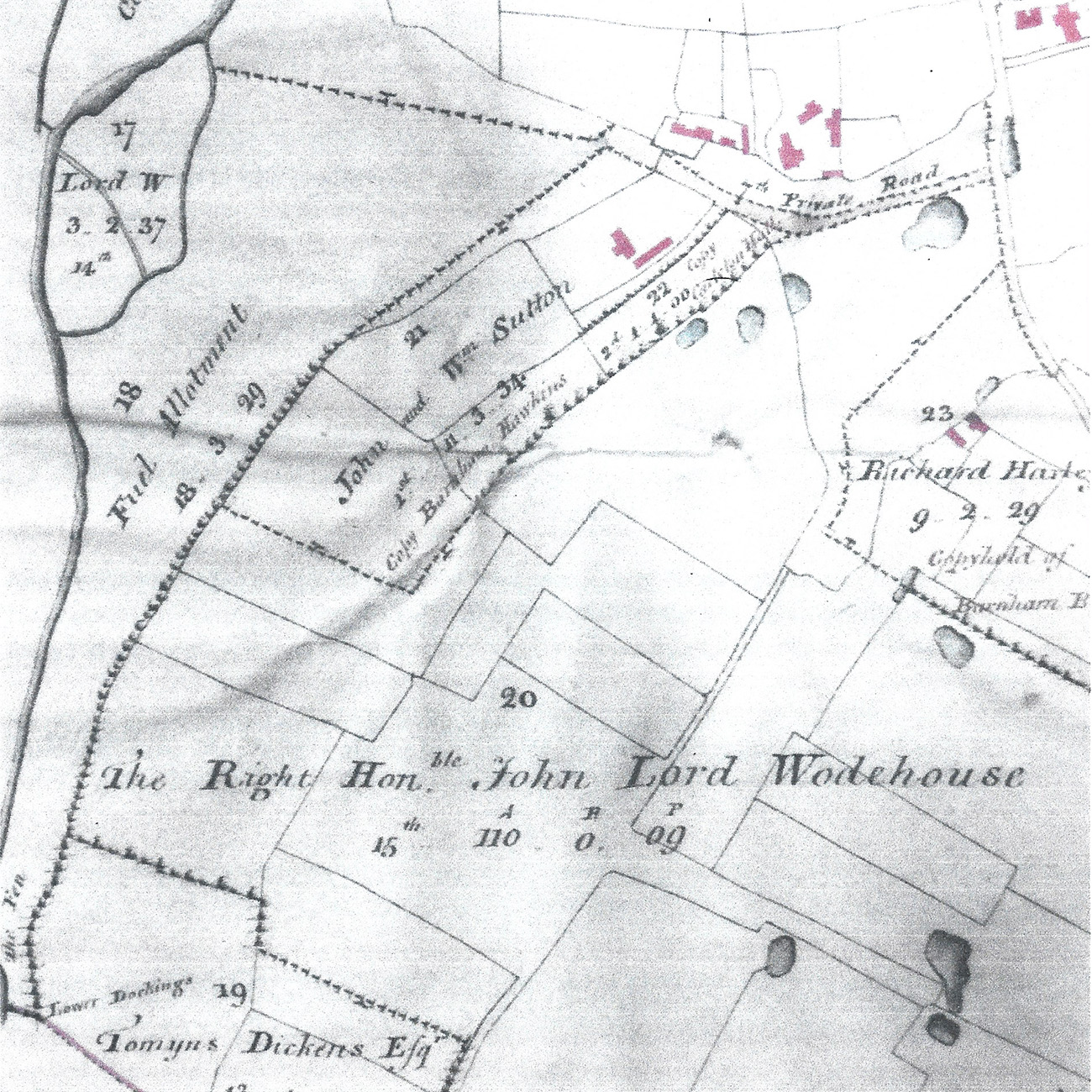
Above: Extract from Barnham Broom and Bickerstone Inclosure Map (1812) illustrating award no. 18 Poors Firing Allotment (labelled Fuel Allotment) – you will see, in the bottom left, the first reference to ‘The Fen’ on historical maps.